Schedule A Call Back

OR

Edit Template

Schedule A Call Back

OR

Edit Template

Drone Mapping Survey

At Scan and Core, we provide professional drone mapping and aerial survey services across the UAE, helping construction, engineering, and infrastructure projects achieve accuracy and efficiency. Our advanced drones capture high-resolution aerial imagery and 3D topographic data, enabling you to make faster, safer, and more informed project decisions.

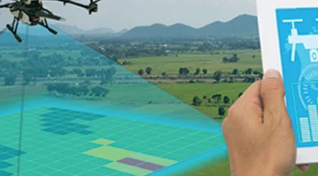
Our Drone Mapping Capabilities

  • High-Resolution Mapping: Capture detailed aerial images and generate precise 2D and 3D maps of your site.
  • Construction Site Surveying: Monitor progress, calculate volumes, and plan layouts with centimeter-level accuracy.
  • Topographic and Contour Mapping: Create digital terrain models for design, excavation, and land development.
  • Infrastructure and Roof Inspection: Access hard-to-reach areas safely with drone-based visual inspections.
  •  

Why Choose Scan and Core for Drone Surveys?

  • Experienced drone pilots and survey engineers certified for industrial and construction projects.
  • Fast data collection and analysis with minimal downtime.
  • Compliance with UAE aviation and safety regulations.
  • Cost-effective and reliable mapping solutions customized to your project’s scope.

Our drone mapping services deliver high precision and clarity — whether you need site monitoring, project documentation, or environmental insights.

Contact Scan and Core today to schedule your drone mapping survey and experience next-level accuracy in your data-driven decisions.

Scan & Core

At Scan & Core , we specialize in precision concrete cutting, core drilling, and structural surveying solutions. Our team delivers accurate, safe, and efficient services using advanced technology and certified expertise — supporting Dubai’s construction industry with reliability and trust.

Quick Links

Policy

Privacy Policy

Terms & Condition

Contact Us

© 2025 Created with Techshaf